At a desk instead of a trailhead?
The same conversions — plus GPX analysis, validation, and editing — run free in your browser at GPXAnalyzer.com.
 MYGPSCONVERTER
Convert your position between DD, DMS, DDM, UTM, MGRS, and GARS — entirely on your phone. Capture your current fix, paste coordinates from anywhere, and read them in the format your map speaks.
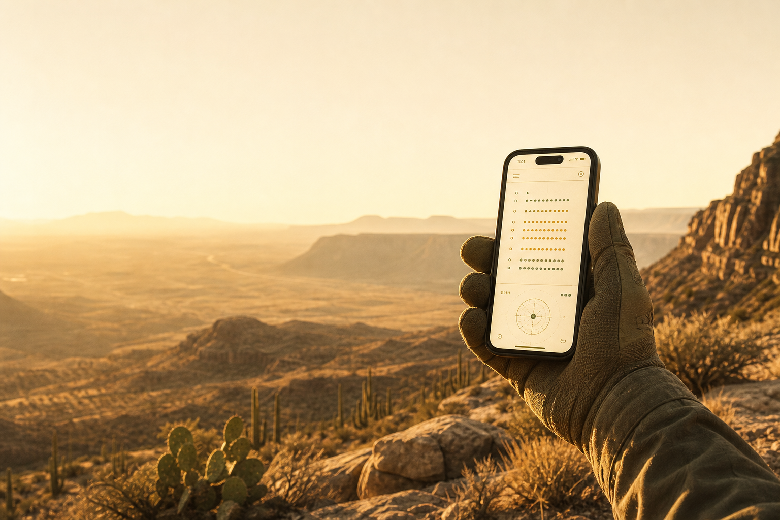
MyGPSConverter is an offline GPS coordinate conversion tool. Quickly convert your current location into multiple coordinate formats—even without a data connection. Perfect for hikers, responders, military personnel, and map users needing accurate offline location conversions.
Capture your current longitude and latitude, paste coordinates from other sources, or enter any location manually. Convert and view your position across the reference systems used on paper maps, in SAR operations, and in field reports. Every conversion is stored in a searchable history log for easy access later.
100% ad-free and privacy-focused—no tracking, no accounts, no data collection. Your locations stay on your device.
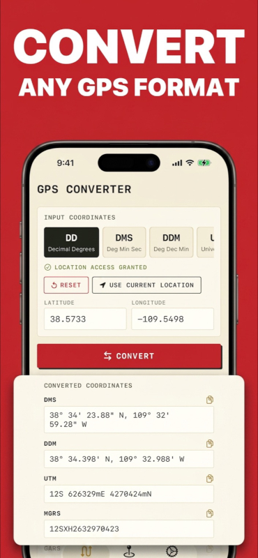
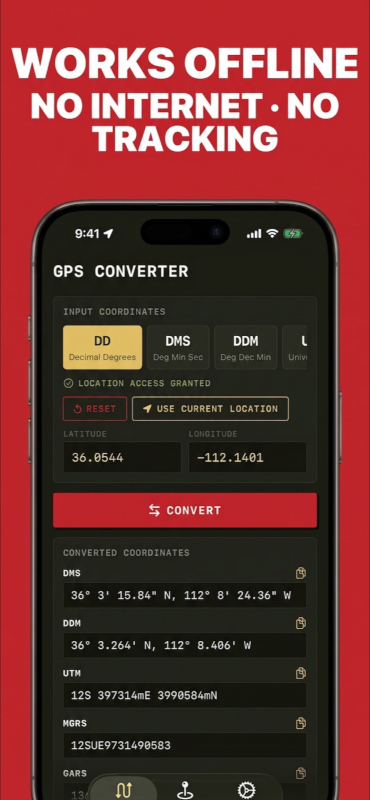
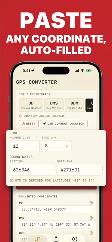
The systems used on paper maps, in SAR operations, and in field reports — converted between instantly.
Simple decimal latitude and longitude — the format apps and websites speak.
32.312064, -114.539201
The traditional sexagesimal format found on charts and older maps.
32°18'43.4"N, 114°32'21.1"W
Whole degrees with decimal minutes — the marine and aviation standard.
32°18.724'N, 114°32.352'W
Metric, zone-based grid used on topographic maps worldwide.
11S 731676mE 3577687mN
UTM refined into alphanumeric grid squares, down to 1-meter precision.
11SQR3167577686
30-minute global cells with quadrant and keypad — used for area coordination.
131LE29
Ideal for hikers, emergency responders, military personnel, and anyone who reads more than one kind of map.
Privacy: No data collection of any kind. Conversions and history stay on your device.
Offline: All six coordinate systems convert with no data connection—airplane mode included.
Formats: DD, DMS, DDM, UTM, MGRS, and GARS.
The same conversions — plus GPX analysis, validation, and editing — run free in your browser at GPXAnalyzer.com.